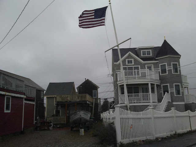
Large Waves For Multiple Days/Tides
Hurricane Ian mauled Florida, took a pretty good bite out of South Carolina, has lost most of his strength and is sort of meandering around. The leftovers will head this way soon. We are not getting the actual Hurricane Ian, the NHC is presently (3 AM Sunday) calling it "Remnants of Ian," and there is a Gale Warning for Cape Cod Bay.
We have gotten most the rain that Ian is going to give us, and the winds won't be that fierce 20-30 MPH, higher gusts). Our concern with the former Ian is that we should get steady E/NE winds out of the remnants through Wednesday or so.
That involves multiple high tide cycles, always a bad thing when it also involves large surf. We're not expecting damage from this storm, other than some minor coastal flooding. The winds, while strong, won't really be in Homewrecking mode.
The storm, which will drift around south of us for a few days, should eventually pull out to sea. The wave action will then return to normal. That "eventually" could be as late as Wednesday afternoon, although the higher surf should be Sunday afternoon and Monday.
In fact, the weather should be partly sunny/cloudy for most of this cycle. Large waves with some sun overhead are a photographer's friend, even a hack like me. We'll be out and about with the camera for several of these high tides, and we'll try to cover multiple beaches and regions.
Surf Reports (this one is for Brant Rock, but you can search through multiple beaches, wave heights are offshore some)
NHC, the National Hurricane Center
GFS, which I might remind you changes 10 times through Sunday, and it's already Sunday
Euro, which likes to disagree with the GFS
Wave Model, also somewhat offshore but a good indicator
Ventusky, forecast models, be sure to set the date for whatever you seek there
Tide Chart, plug in your own beach for hours of family fun


.jpg)

Comments
Post a Comment