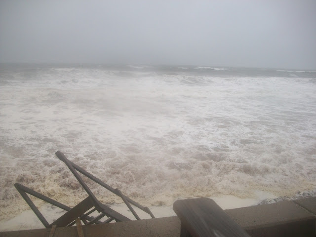
Tropical Storm Isaias Surf Check, South Coast
We did go to the western coastal range of our coverage area. We consider Tiverton, RI and Little Compton, RI to be part of Massachusetts, or at least the South Coast. We'd throw Newport in, in a pinch.
Our photographers did their level best, and we shall now share for you what we got.
We started in (Straight Outta) Little Compton. South Shore Beach was facing right into the wind, and was getting swells. She was just too far away from the storm center for any massive pictures.
Little Compton did take the Highest Wind Speed award, and we were in 4 towns/cities. Yes, we have a hand-held anemometer, and no, none of us are weathermen.
We were somewhat limited by the times and tides, we had a lot of ground to cover and not much time until high tide.
Next stop, Sakonnet Yacht Club. No, I don't have a yacht, and even growing up in 1980s Duxbury, I never got a hang of that Yachty thing. They just have a cool break, and easy parking.
I'd like to have gotten closer to that lighthouse, but I was in a losing race with the clock.
Sakonnet is usually my West Wind spot for pics, but this far from the storm, I was willing to try anything.
I doubt that anyone's house in eastern Massachusetts was damaged by Isaias, at least by the ocean. I do know that 220,000 people lost power, including our Duxbury office.
Other than a spot of rain in Wareham, my weather was sunny and windy for the whole trip.
We were in a race against time, and had to get to Westport before the sun set. We succeeded, but it was pitch black for the New Bedford and Bourne visits (see below). We got to the places with waves in time, so there...
Westport! Horseneck Beach was closed, and I had too many felonies in the car to risk a confrontation with Johnny Law, so we went down the road a bit to Gooseberry Neck.
I was seeing 8-10 foot waves listed on the surf sites, but saw nothing above a meter in my travels. The seas had that rough look that goes hand in hand with tropical systems, but there was little to no wave height.
Horseneck Beach was a lot safer than Gooseberry Neck, which was one good wave away from being Gooseberry Island. (Editor: It actually is Gooseberry Island, population 0. Hurricane Carol cleared out the houses which used to be there in 1954. Gooseberry Neck leads out to Gooseberry Island, which- to be fair to Stephen- isn't technically an island if you count man-made causeways. The editor has a tough time choosing between "let Stephen be wrong in print for eternity" and "transmit actual correct information to people"). I ended up getting kicked off the causeway by a Ranger.
We only saved one video from Westport, although we went Facebook Live there for a while.
It was safer for everyone if I got out of the car to film....
I'm not from Westport, but I'm local enough that I know this is Bar Rock. Bar Rock may be the most insignificant thing in the world which has a Wikipedia entry. Looking this up, I also now know that at least this side of the Gooseberry walkway is Rhode Island Sound.
The sunset then asserted herself, ending our photo day about 2 hours before high tide.
Got some nice shots out of it, though....
Off to New Beffuh!
Video didn't help much....
We ended up back home, in Buzzards Bay....


.jpg)

Comments
Post a Comment