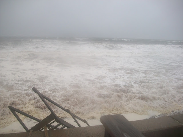
The Great Colonial Hurricane Of 1635
Very, very few people would say "tropical" if asked to free-associate some words with Pilgrims. However, in 1635, August 25th was about to get very tropical indeed for John Alden, Myles Standish and the gang.
The worst hurricane in New England's known history was about to strike them.
They didn't have The Weather Channel in 1635, nor did they have Shiri Spear and the FOX25 Futurecast Radar. Long range forecasts were notoriously spotty in 1635, and generally tended to be made along the lines of things like bird migrations and the wrath of a vengeful God.
They most likely first became aware of trouble when the skies darkened and the wind began to pick up.
Settling near the coast seemed like a fine idea in 1620. Very few of them were aware of the concept of hurricanes, which were not much of a threat to 1600s England.
Then... things got biblical.
At her peak off the Carolina coast, she was most likely a Katrina style category 4 or 5 hurricane. Virginia records speak of a storm, but not a direct hit from this monster.
1635 must have been a hot summer, hot enough to get the ocean water temperatures around New England higher than usual. The storm did not lose strength before visiting New England, as storms normally do. The storm did not curve East out to sea before New England, again what the storms often do.
Nope, she barreled right up Narragansett Bay as a 135 mph hurricane. Rhode Island had a 20-foot storm surge. She then moved into Massachusetts, somewhere around Swansea or Fall River.
Her strength fell off very little as she moved into the interior parts of Bristol County and Plymouth County. Winds were still around 115 mph as she moved through the barely inhabited countryside.
The eye exited Southeastern Massachusetts somewhere between Weymouth and Cohasset, then brushed Gloucester and eventually what became Maine before turning extratropical.
Much of these areas were either uninhabited or the home of Wampanoag villages. The full effects may never be known.
What we do know about the storm was heavily influenced by the writings of Governor Winthrop of the Massachusetts Bay Colony and Governor Bradford of the Plymouth Colony, who kept diaries that were heavily weather related. They spoke of 20 foot waves, howling winds, miles of trees blown down, destroyed Wampanoag villages and great flooding.
Modern scientists can use Winthrop/Bradford observations, as well as environmental leftovers and modern storm surge data, to determine the strength and path of the storm.
Damage from the storm could still be seen 50 years later. Houses were annihilated, river courses were altered,and miles-wide swaths of trees were blown down in the forest.
Saquish Neck and perhaps Gurnet Point were separated from Duxbury Beach and became Islands. America's oldest retailer, the Aptucxet Trading Post in Bourne, was destroyed.
The storm most likely was influential in the decision of Myles Standish to form Duxbury in 1637. This is a shame, because I like to think that Duxbury was founded because a 2000 person village in a continent-wide wilderness had gotten a little too crowded for one Mr. Myles Standish
Boston was hit by the storm, but not to the extent that a Duxbury or New Bedford was.
If the modern analysis of the storm is correct, it was the worst storm to hit above Cape Fear, North Carolina since America's inhabitation by Europeans. It was worse than the 1938 hurricane or the Halloween Gale. If it struck today, a storm of her strength would kill thousands of people and do billions of dollars in damage.
385 years ago today, Massachusetts was most likely the worst place on Earth


.jpg)

Good to know
ReplyDeleteWe see ourselves as a public service for those who can't be at the beach the day of a storm but who have some vested interest (financial or personal) in how bad the surf is.
DeleteCan you imagine how frightening this event would have been. Great, true, story.
ReplyDelete